Drone Services
A drone solution for any project
Our piloted drone solutions are safe and professional, using the latest advances in technology to complete jobs safer, faster, and more accurately. We decrease time and labor with inspections and surveys by quickly providing you with conclusive, economical reports.
Drone Applications

Agriculture
- Plant count
- Plant health, soil moisture, and growth stage
- Spectral imaging
Construction
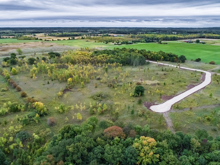
- Aerial viewing and documentation of entire construction site
- Construction planning and mapping
- Progress monitoring
Golf Courses

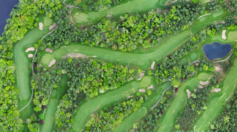
- Hydrology and geographical mapping
- Water management
- Disease detection
Inspections
- Damage assessments for insurance
- Asset inspections including homes, buildings, land, and equipment
- Solar energy and wind turbine inspections
 Mapping & Surveying
- 3D feature extraction/contour generation
- Thermographic imaging
- Digital elevation modeling
Marketing Material
- 360 panoramas
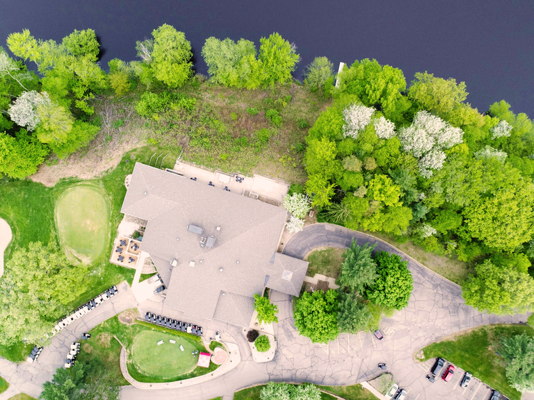
- Aerial view photos
- Video
Engineered for Agility
Our industrial drone features real-time precise positioning that can be used for any application. It has a built-in battery heating system to allow for extreme cold weather flights, as well as an IP43 IP Rating for flying in the rain.
High Resolution Photos - capturing the finest detail
Producing powerful aerial imaging through a 20 megapixel and 80 degree field of view camera to render beautiful photos for any project, and precise photos for inspections. Videos record 4K real-time.
